Bill & Sandra Wayne's Personal Pages
Our trip west, September 2002
Day 10, September 8
Grand Junction to La Junta
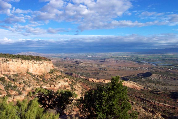
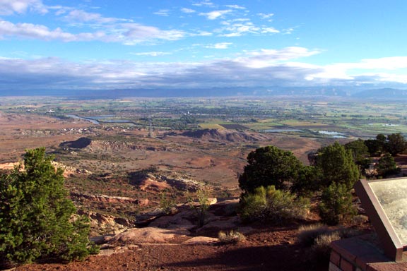
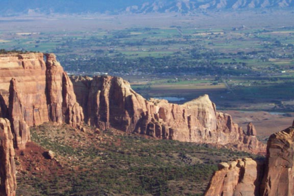
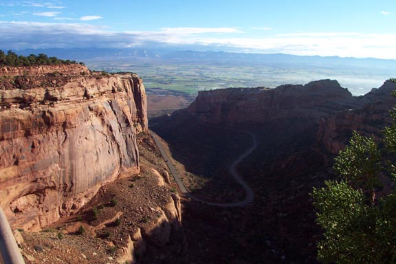
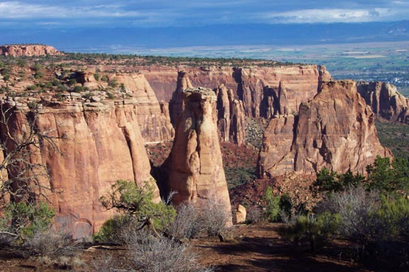
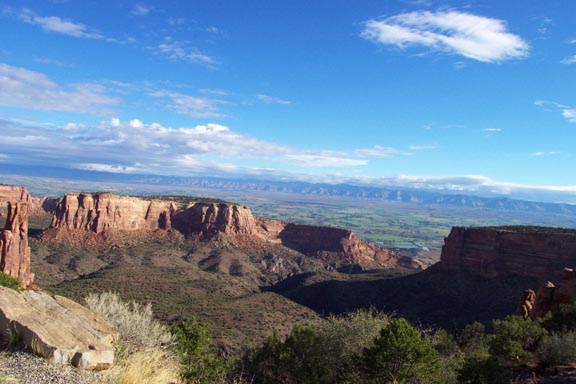
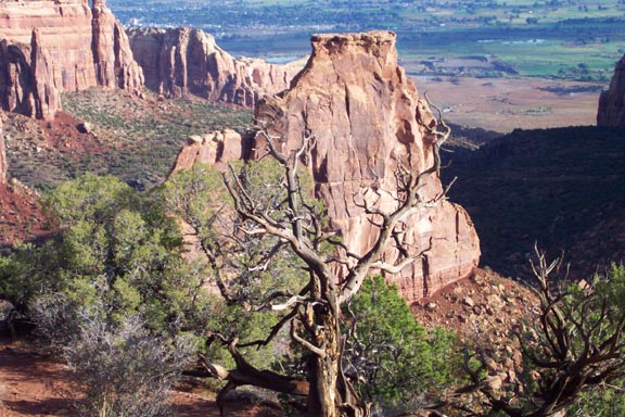
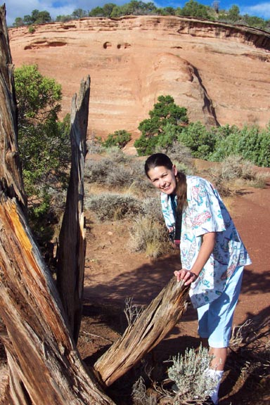
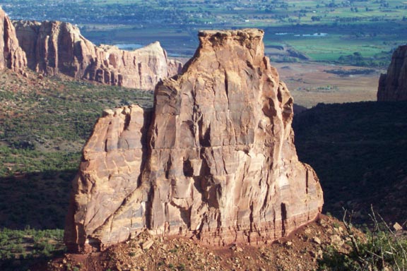
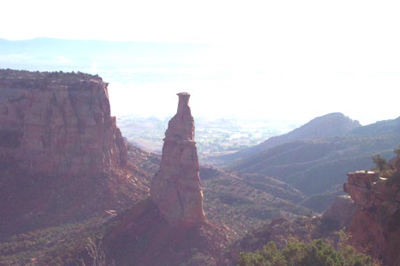
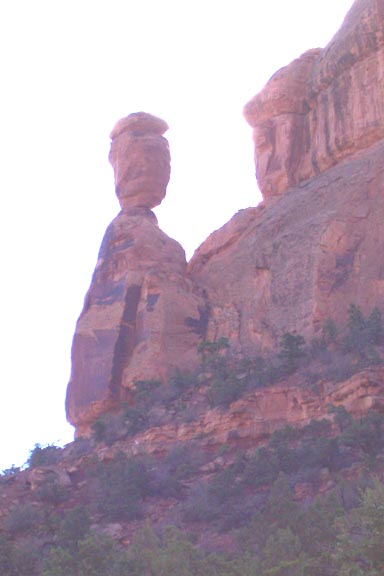
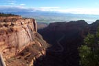
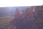
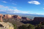
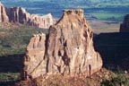
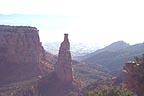
Had a good breakfast at Denny's (good thing we did!) and headed back west on I-70 to Fruita at 7:40 AM. Got to Colorado National Monument before it was officially due to open, but someone was there and they let us in. Probably the friendliest park we visited, but more steep cliffs and red rock to look at. Did we take pictures? Of course!
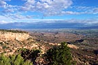
View of valley from cliffs |

Rocks, valley, mountains, clouds |
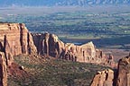
Rock formations with valley in background |
More sheer cliffs |

Striking formations |
A slightly wider view |
Shadows and sky |
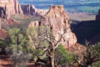
A monument formation |
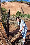
Sandra showing off again |
Shadows on a monumnet formation |
Monument looking into the sunrise |

Balanced rock - got them here, too |
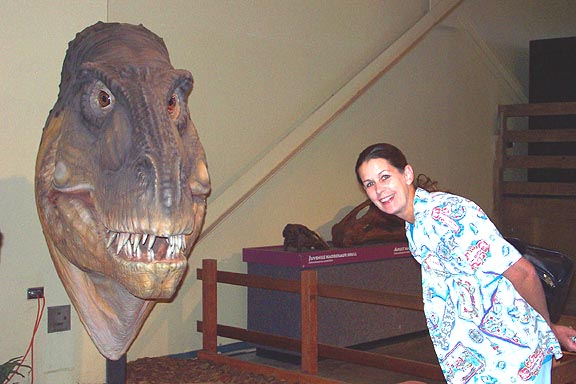
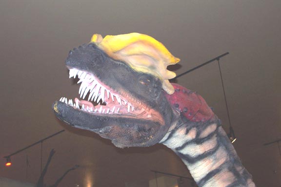
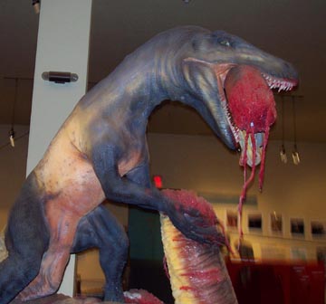
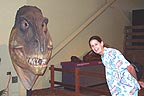
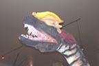
Drove half the park then returned to Fruita, where there's a dinosaur museum, wwith animated critters. Cost a bit to get in, but it was fun. Here's proof!
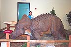
Sandra with animated triceratops |
She kind of liked the Allosaur, too |
This critter was a spitter |

This guy is plain gross! |
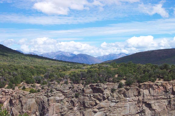
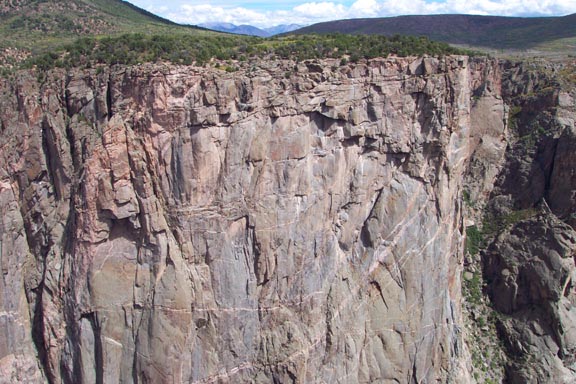
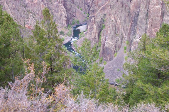
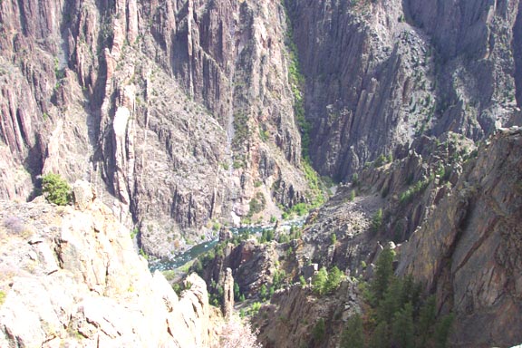
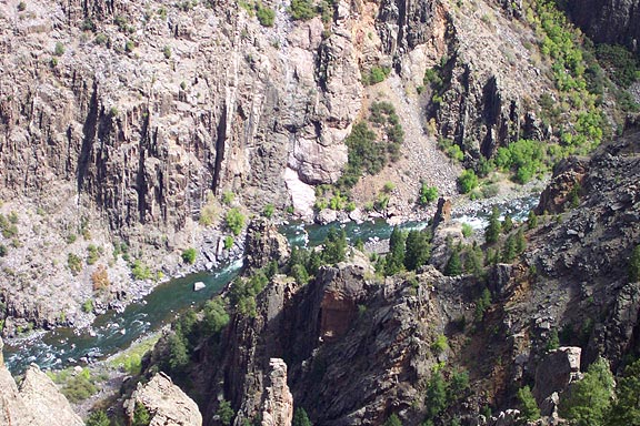
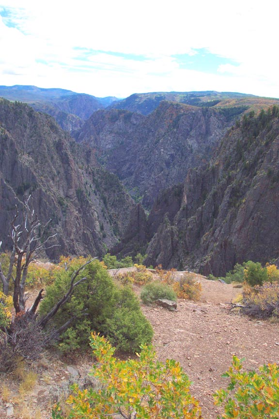
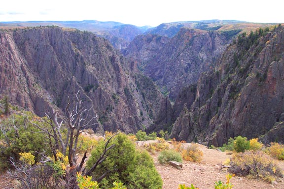
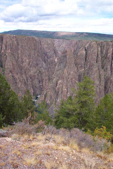
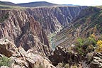
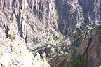
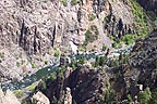
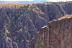
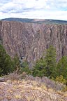
Headed back east on I-70 at 10:15 AM, changing to US-50 at Grand Junction and heading for Black Canyon of the Gunnison National Monument. Here we finally saw some OLD (pre-Cambrian) igneous and metamorphic rock, something we'd not seen for most of the trip. A very steep canyon as far as river drop; it had cut its way through some very hard rock in a geologic instant. Very different colors as these shots show:
This shows it well - river & cliffs |

Mountains seen to the north |
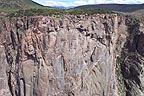
Mostly cliff - see the striations |
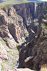
Yes, it's deep |

Gunnison River far below - white water |
There's a river down there |
Whitewater a long way down |
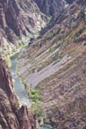
Vertical shot showing canyon bottom and river |

View 1 |

View 2 |
View 4 showing leaves turning |
View 3 |
Pulled out of the park and headed east on US-50. Had lunch at Gunnison, then
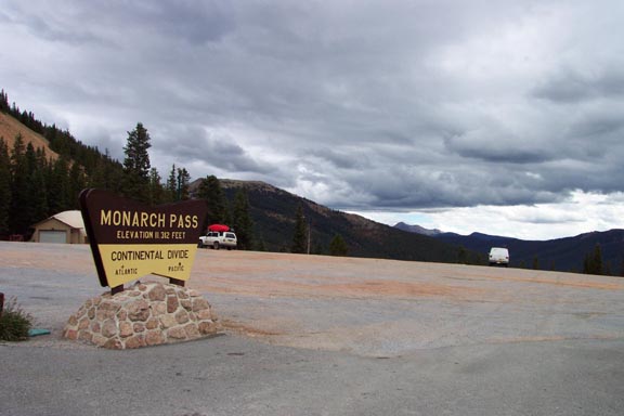
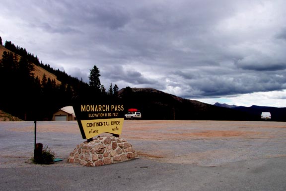
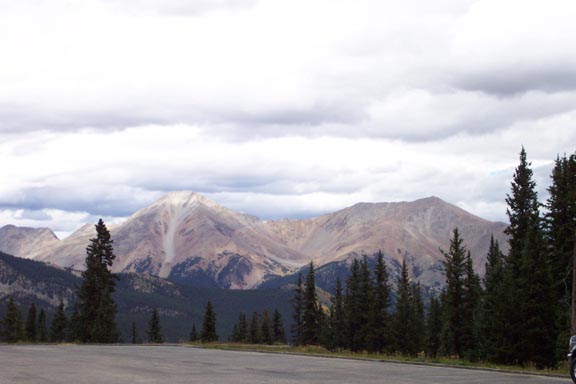
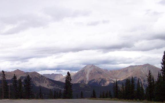
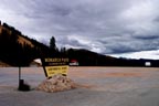
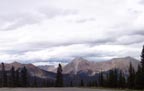
took the long climb to Monarch Pass (11,312 feet), the "high point" of the trip. Here's proof:
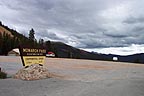
Monarch Pass - clouds are close! |
Same view, slightly different magnification |

Tree line is close |
Sawatch Range has several peaks over 14,000 ft |
After Monarch Pass it was all downhill. We ended up at a Holiday Inn Express in La Junta, elevation still over 4000 feet. Not much open there on Sunday night so had likely the worst Mexican meal of the trip. Not even internet access to check emails. Bummer.
Total miles for day: 412. Time from Grand Junction to La Junta: 11:46.
Return to Main Page | Back to Previous Day | On to Next Day