Bill & Sandra Wayne's Personal Pages
Our trip west, September 2002
Day 9, September 7
Torrey to Grand Junction - part 2, including Canyonlands, & Arches
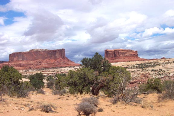
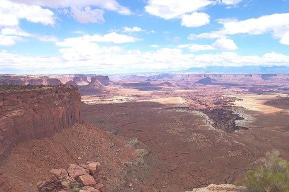
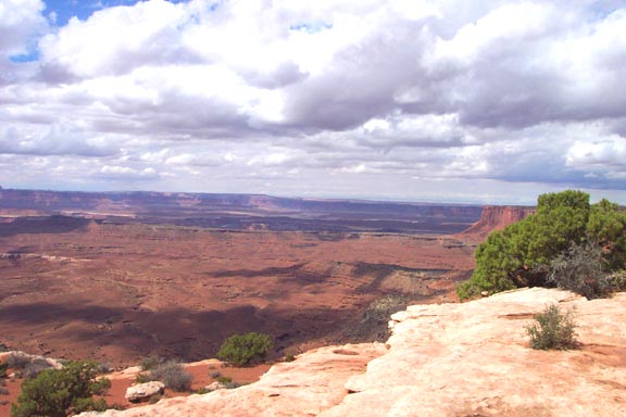
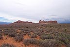
Reached I-70 on UT-24 about 11:15, had lunch in Green River at a small hamburger place and pressed on toward the next site. Turned south on US-191 to UT-313, where we turned off for Canyonlands National Park, Islands in the Sky unit. It was 12:30 PM.
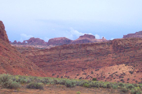
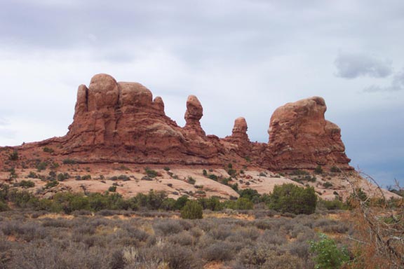
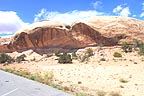
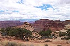
Monitor & Merrimac formation near entrance |
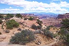
A neat rock formation near entry |
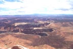
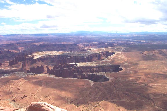
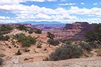
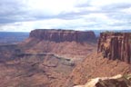
See the canyons cut into the land |
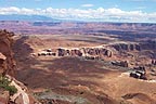
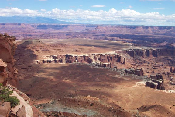
More deep-cut canyons far below |
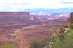
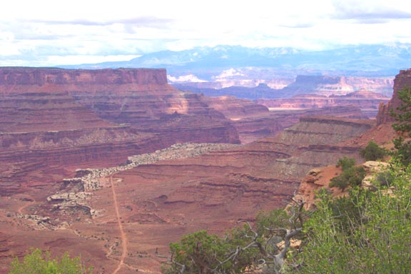
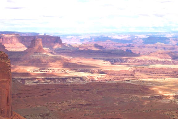
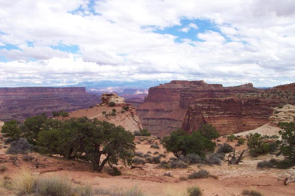
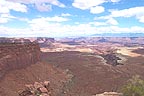
A big view |
Far horizon |

Isn't this nice? |
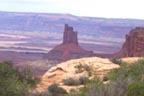
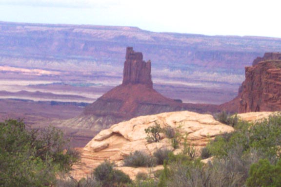
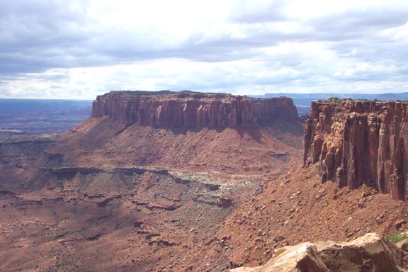
A tower on the Green River side |
View |
Another view |

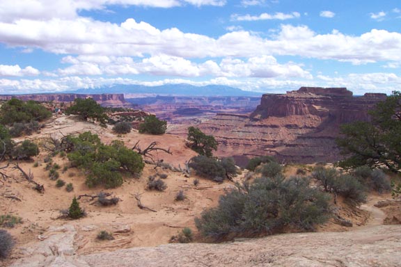
Contrasts |
Rocks & clouds |
Butte overlooking the confluence of Green & Colorado |
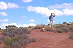
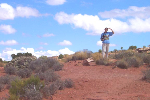
Obligatory proof that Sandra was here |
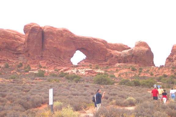
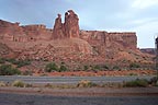
Returned to US-191 after an 80 mile drive through Canyonlands by 3 PM and did the short ten minute drive to Arches NP. Let's start by showing some arches and then we'll look at other formations
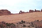
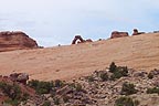
Delicate Arch, the signature arch on the license plate |
A slightly diferent view of Delicate Arch |
An arch seen from well below |
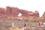
Lots of arches in this area - this one is nice |
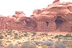
Double arch hidden in the rock |
Pothole Arch - way up by the clifftop |
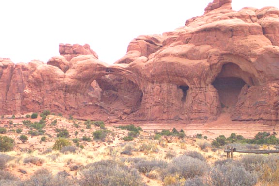
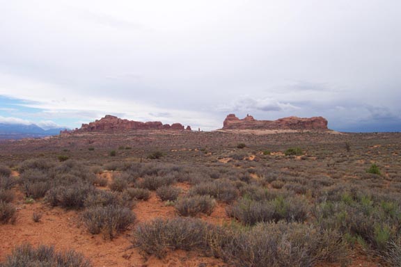
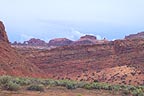
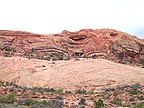
There are lots of interesting formations here, as well.

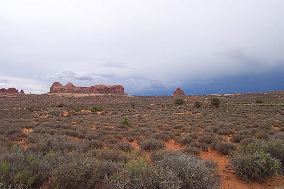
Formation - look at those clouds! |
Slightly differnt view - trying to find an arch up there |

Nice formation with clouds |
Formation taken from the road |
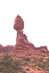
Balanced Rock. How? Who knows? |
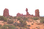
Balanced Rock has neighbors |
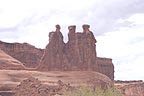
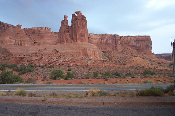
The Three Wise Men - see the camels? |

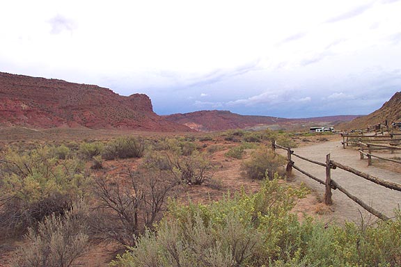
A look down a valley - soon to be a wet one |
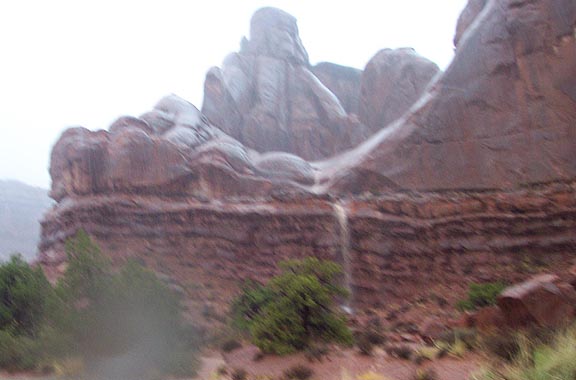
The sky is showing rain to the southwest. Might we get rained on? What do you think? Here's what the waterfalls from the cliffs looked like. It was a real gully-washer, and the people who went out hiking had a real adventure!
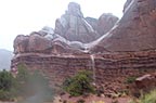
Waterfall over what was dry rock 5 minutes earlier |
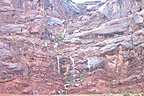
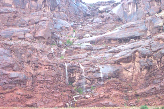
Waterfall closeup |

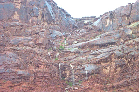
In case you missed the previous shot |
Left the park at 5:10, after getting wet stopping at the restrooms at tyhe visitor center. Continued on US-191 to UT-138, which runs up the side of the Colorado River gorge in this area. Rain off and on the whole way, with occasional rockfalls on the road. This was supposed to be the scenic route, not the scary one! When we left the gorge finally the desert was just as bad, with mud and crud swept overthe road whenthe storm moved through. Took over an hour to go the 45 miles to I-70. Once on I-70 we decided to skip Colorado National Monument for the day and head for the motel in Grand Junction. Dark and rainy, it's 7:15 when we stop for directions. Got to the Mesa Inn and they didn't have our reservation; fortunately I had the printout to prove a rather attractive rate. They recommended a good Mexican restaurant and they were right.
Total miles for day: 383. Time from Torrey to Grand Junction: 11:17.
Return to Main Page | Back to Previous Day | Back to Day 9, Part 1 | On to Next Day